Grimes Point and Sand Mountain
The 110 mi (177 km) of US-50 between Fallon and Austin, the next town to the east, look pretty empty on most maps, but there’s more to see than you might think. In the midst of a U.S. Navy target range, where supersonic fighters play electronic wargames across the alkali flats, there are historical plaques marking Pony Express and Butterfield Stage way stations, a dusty old brothel, and two unique attractions—a singing sand dune and an extensive petroglyph site.
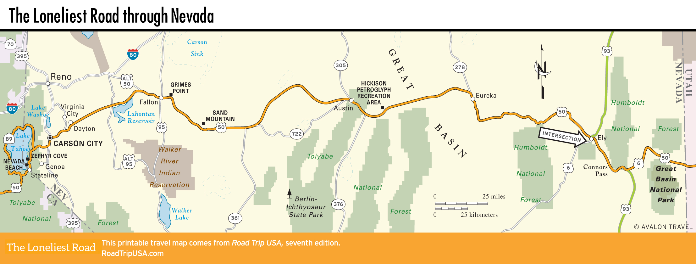
The extraordinary grouping of petroglyphs at Grimes Point, 10 mi (19.1 km) east of Fallon, is not to be missed. Just 100 yd (91 m) north of US-50, a self-guided trail leads past hundreds of images etched into the lichen-covered, espresso-brown basalt boulders. Some 6,000 years ago, when the carvings were made, Grimes Point was on the shores of now-vanished Lake Lahontan, a prime hunting and fishing ground for prehistoric Great Basin peoples. These days, fast and fierce lizards, and the occasional antelope, share the arid setting with the shiny rocks, into which a huge array of abstract and figurative images have been pecked and chiseled. If you’re intrigued and want to know more, stop by the excellent Churchill County Museum in Fallon; guided tours (every other Sat.) are available of nearby Hidden Cave, where significant archaeological remains have been uncovered.
Sand Mountain, 18 mi (29 km) east of Grimes Point, 86 mi (138 km) west of Austin, and just a half-mile north of US-50, is a giant sword-edged sand dune that makes a deep booming sound when the cascading crystals oscillate at the proper frequency—somewhere between 50 and 100 hertz. On weekends you’re more likely to hear the sound of unmuffled dirt bikes and dune buggies, but at other times the half-hour trudge to the top is well worth making to watch the swirls of sand dance along the ridges.
Related Travel Guides