Sedalia
East of Kansas City, the roadside along fast, four-lane US-50 is endless open rolling prairie, most of it planted in wheat and corn. As in most of the West, early development here occurred along the railroad lines, which were constructed beginning in the 1850s. Towns boomed when the trains arrived, but most went bust as the tracks were extended westward to Kansas City and beyond.
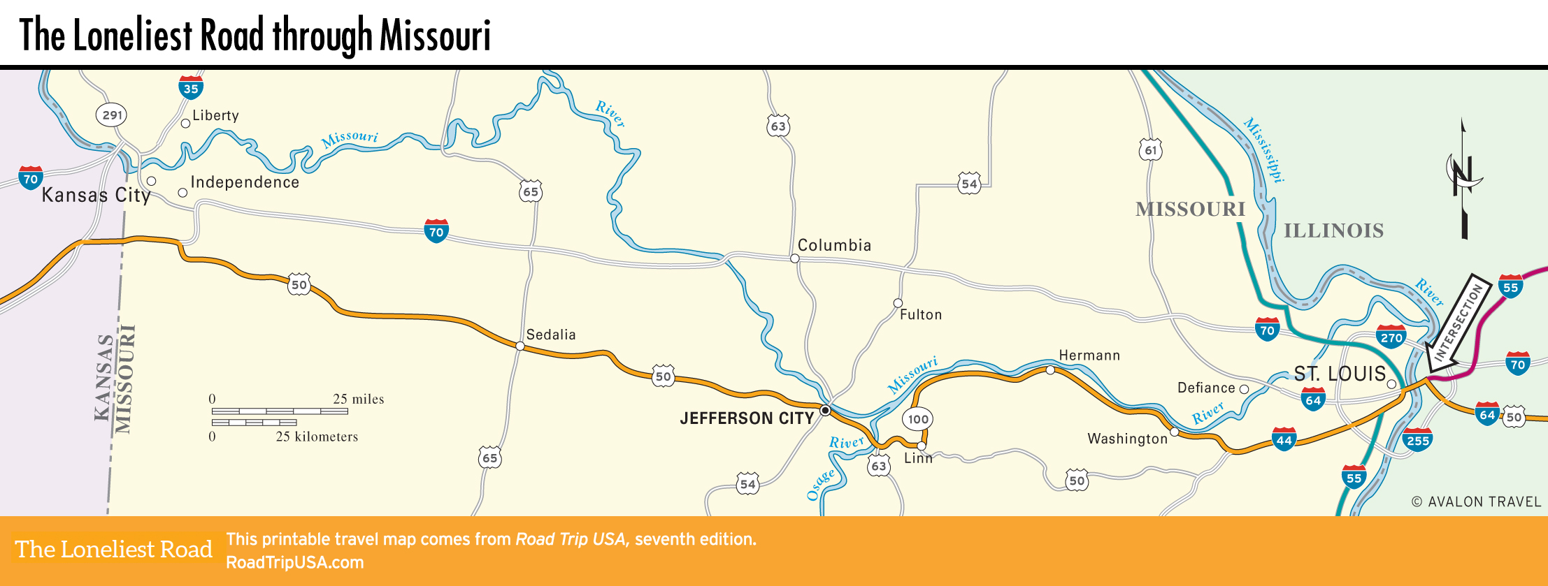
Sedalia (pop. 21,718), which is 89 mi (143 km) east of Kansas City, was one of the few that survived, growing into a small city thanks to its position straddling the main line between St. Louis and Kansas City. Sedalia reached its peak of prosperity around 1900, an era evoked by the ragtime music of Sedalia’s own Scott Joplin. The tracks through town, and most of the way across Missouri, have been converted into the hiking and bicycling Katy Trail.
Along with ragtime music and railroad history, Sedalia offers an unexpected treat: modern galleries of excellent contemporary art, courtesy of the Daum Museum of Contemporary Art (3201 W. 16th St., Tues.-Sun., free) on the campus of the local community college, a half-mile south of US-50.
At the heart of the historic downtown, a few blocks from the Katy Trail, Fitters 5th Street Pub (500 S. Ohio Ave., 660/827-6500) has pizzas and sandwiches across from the courthouse, while the Hotel Bothwell (103 E. 4th St., 660/826-5588, $90 and up) is a nicely restored 1920s hotel, now part of the Choice Hotels group.
The old railroad depot downtown has been brought back to life as the town’s visitors bureau (600 E. 3rd St., 800/827-5295 or 660/826-2222).
Related Travel Guides