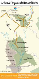
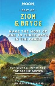
Canyonlands and Arches National Parks
Canyonlands National Park
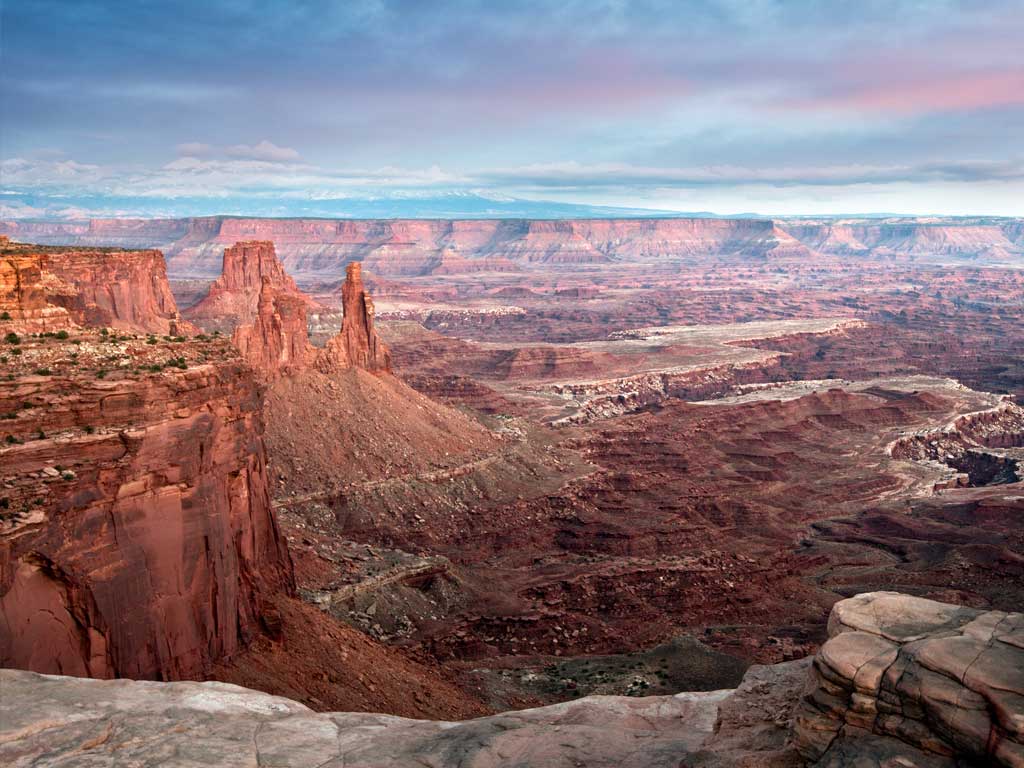
The largest and least-visited park in Utah, Canyonlands National Park is both breathtakingly beautiful and totally inhospitable, an arid wilderness of high plateaus and deep canyon carved by the mighty Green and Colorado Rivers. The park is divided into several different areas, each of which is at least a 100-mi (161-km) drive from the others, so it pays to plan ahead. The most popular section, the Island in the Sky, stands high above the confluence of the rivers and gives the most sweeping panoramas—100 mi (161 km) in every direction from nearly 6,000 ft (1,829 m) above sea level. South of the rivers, The Needles district holds 50 square miles (129 sq km) of spires, arches, and canyons, and is the best place to undertake lengthy hikes. One trail leads from the end of the road down to the mouth of Cataract Canyon on the Colorado River. Another area of Canyonlands, The Maze, is west of the rivers and virtually inaccessible.
There’s one visitors center near the entrance to Island in the Sky and another near the entrance to the Needles. The Canyonlands Park Headquarters (2282 SW Resource Blvd., 435/719-2100) in Moab also has extensive information. Adjacent to Canyonlands are two state parks, Dead Horse Point in the north and Newspaper Rock State Historical Monument in the south, both of which are also well worth a look.
Arches National Park
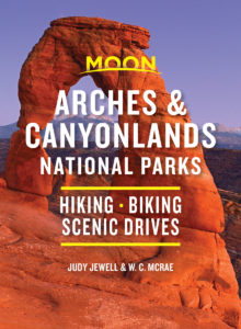
Taking its name from the hundreds of naturally formed sandstone arches scattered here, Arches National Park is the most feature-packed of southern Utah’s national parks. Ranging in size from around 3 ft (1 m) to nearly 300 ft (91 m) in span, the arches are the result of erosion over millions of years, the same agent that formed the thousands of brilliantly colored spires, pinnacles, and canyons that cover southeast Utah. Piñon pines and junipers add a splash of green to the red and brown backdrop, but mostly what you see are red stone and blue sky—lots and lots of both.
The park’s highlights can be easily reached from the 18-mi (29-km) paved road that runs through the center of the park. A visitors center (435/719-2299, hours vary seasonally) at the entrance, east of US-191 and 5 mi (8 km) north of Moab, has maps, pamphlets, and displays on the geology and natural history of Arches.
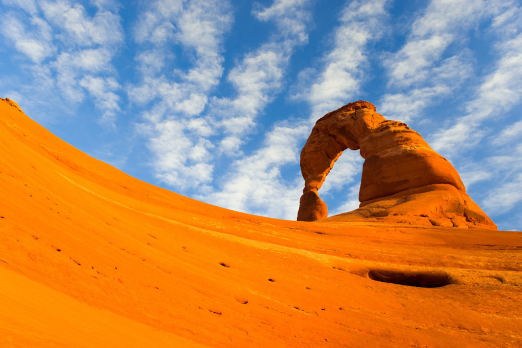
From the entrance, the road switchbacks uphill past the sandstone skyline of “Park Avenue” before reaching a turnoff east to The Windows, with a dense concentration of arches and spires that are required viewing. Beyond The Windows about 4 mi (6.4 km), a dirt road leads east to Wolfe Ranch, trailhead for Delicate Arch, the park’s most postcard-worthy feature, a 3-mi (4.8-km) round-trip hike. Another 3 mi (4.8 km) farther along the main road, Fiery Furnace is an otherworldly collection of narrow canyons that, despite the name, is quite cool and shady; park rangers give guided walks here throughout the summer. At the far end of the road there’s a 2-mi (3.2-km) trail leading to Devils Garden, where you can see Landscape Arch, the park’s and the world’s largest arch—291 ft (89 m) across and 105 ft high (32 m).
Related Travel Guides
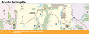
Maps of Utah and the Loneliest Road