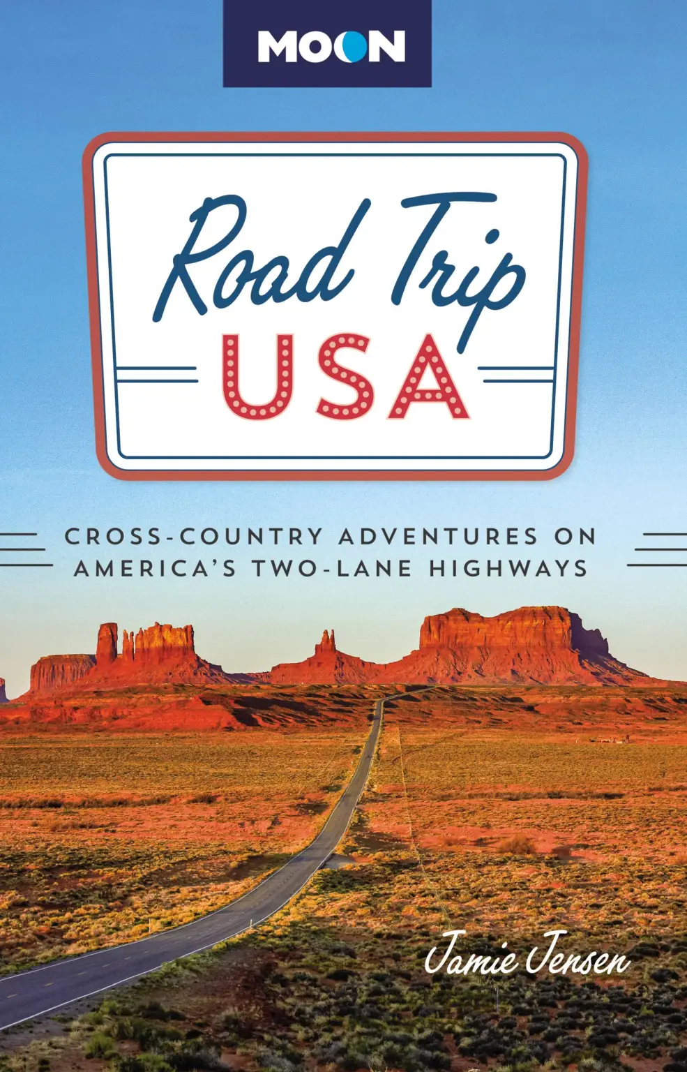
Classic American Road Trips

The classic Route 66 road trip is an unforgettable journey into America, then and now .
Highlights
Covering 1,650 miles from Washington to California, the two-lane Pacific Coast Highway is home to wild beauty, quaint towns, kitschy sights, and big cities.
Highlights
A road trip along US-93 takes you through miles of untouched wilderness from alpine mountains to sun-blasted deserts, and the neon heart of Las Vegas.
Highlights
On US‑83 you’ll take in some phenomenal country: verdant farmland dotted with truly small towns, endlessly shifting prairie grassland, winding Missouri River roadways, and plain, isolated, where-the-hell-am-I agricultural expanses.
Highlights
Old Man River, Father of Waters, “body of a nation,” Big Muddy—by any name the mighty Mississippi cuts a mythic figure across the American landscape.
Highlights
Skip the blisters with an Appalachian Trail road trip that follows scenic two-lane roads all the way through dozens of fascinating towns & historic sites.
Highlights
Starting at the Statue of Liberty and winding up at free-wheeling Key West, these almost 2,000 miles of roadway run within earshot—if not sight—of the Atlantic Ocean.
Highlights
Dubbed the Great Northern in memory of the pioneer railroad that parallels the western half of the route, US‑2 is truly the most stunning and unforgettable, not to mention longest, of all the great transcontinental road trips.
Highlights
Find odd museums, classic diners, idyllic towns, and poignant post-industrial decay on an Oregon Trail road trip, a historic pioneer route now labeled US-20.
Highlights
A road trip along US-50 follows time from colonial-era landscapes through the Wild West to high-tech Silicon Valley, the best route for the unhurried.
Highlights
From deserts to bayou swamps and Tex-Mex to barbecue, this route offers a full-flavored taste of America.