Rexburg
First settled by Mormon homesteaders in the 1880s, the fast-growing town of Rexburg (pop. 28,687) still has a pronounced Mormon feel, thanks in part to the thousands of students attending Brigham Young University-Idaho. Apart from the BYU connections, Rexburg is best known for the near-disaster of 1976, when the huge Teton Dam collapsed and unleashed eight billion gallons of floodwater onto the valley below. Fortunately, engineers noticed the warning signs and were able to evacuate the area beforehand; though damage was extensive, fatalities were few. Housed in the basement of the old Mormon tabernacle, the Museum of Rexburg (51 W. Center St., 208/359-3063, Mon and Fri.-Sat., $4) has the usual displays of quilts and cattle brands tracing the history of the region, plus a large section devoted to the great flood of 1976. A short film shows the actual collapse of the dam.
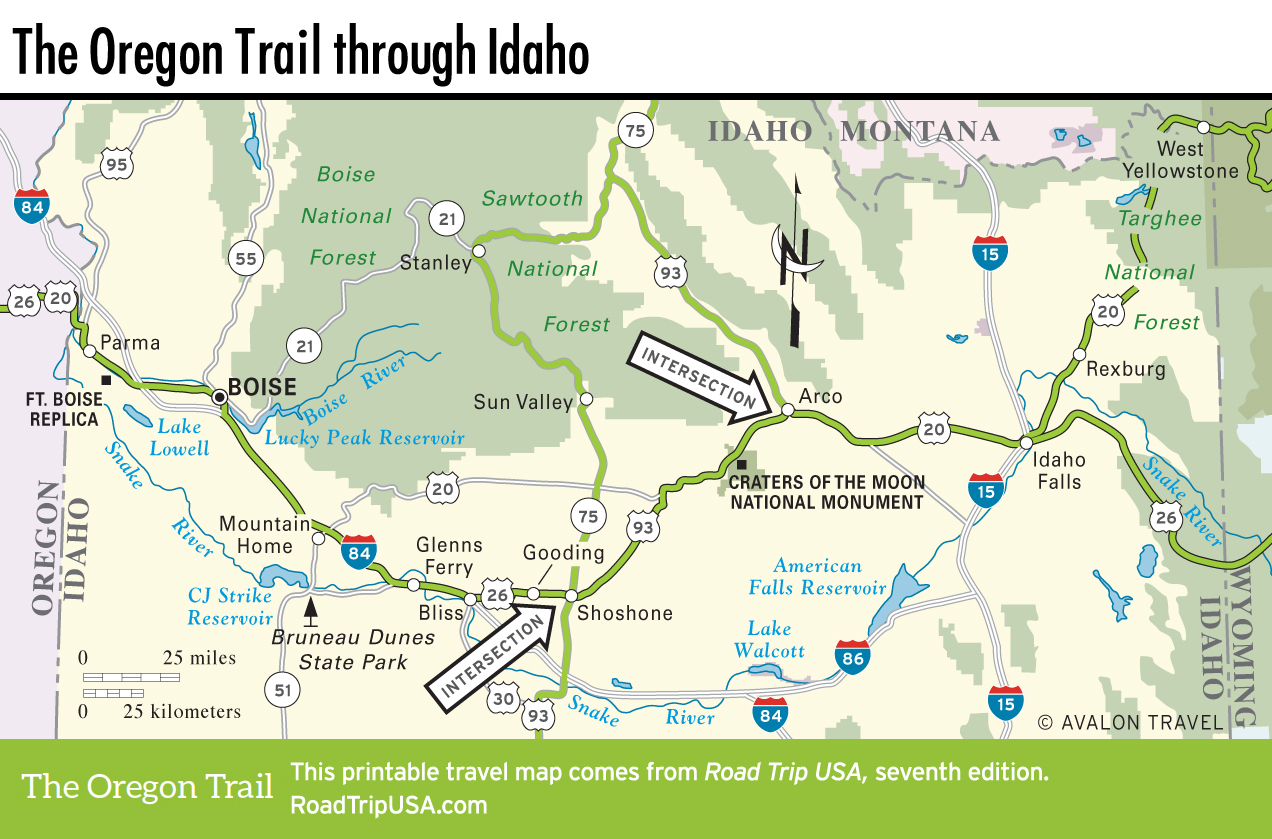
Outside Rexburg, Yellowstone Bear World ($25 per person or $100 per vehicle, 208/359-9688) is a drive-through zoo featuring more than 200 captive-bred bears, representing all the native species. From Rexburg, US-20 runs northeast through the Caribou-Targhee National Forest, climbing from the Snake River plain along Henry’s Fork River—one of the country’s top fishing streams, loaded with cutthroat trout as big as 10 pounds (4.5 kg)—into the heart of the Rocky Mountains. On the Idaho-Montana border, 7,072-ft (2,156-m) Targhee Pass marks the Continental Divide.
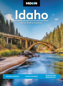
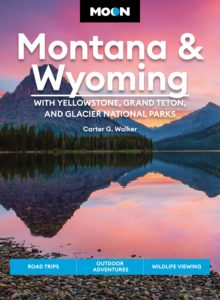
Related Travel Guides