Death Valley Scenic Drive Ideas
By Jenna Blough, author of Moon Death Valley National Park
Many visitors treat a visit to Death Valley as a car-only tour, an approach that makes sense during summer due to the extreme heat. But during spring, fall, and winter, you can experience the nuance of the desert and enjoy your own little piece of it by hiking some of the canyons or taking one of the many lightly traveled roads. Here are some scenic drives to choose from on your visit to Death Valley National Park.
Furnace Creek and the Amargosa Range
Dirt roads in this region vary in their accessibility. Some roads require only high clearance and may be passable with a passenger car, while others require a serious four-wheel-drive (4WD) vehicle. Several of the dirt roads in this area, including the West Side Road and the Greenwater Valley Road, are graded and may be passable with a passenger car in good weather and road conditions. A 4WD vehicle opens up your possibilities for canyon or other more remote exploration.
West Side Road
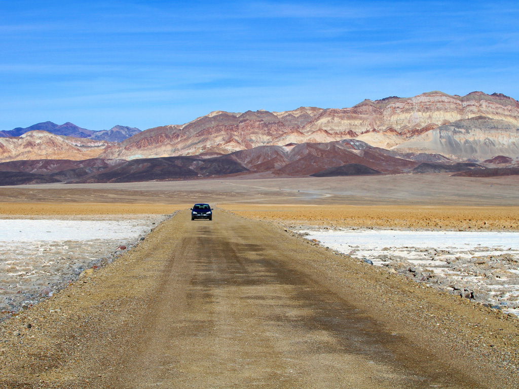
West Side Road visits the rugged canyons of the Panamint Range; experience the orchards of Hungry Bill’s Ranch or the bubbling oases of Hanaupah Canyon. There are plenty of backcountry campsites and hikes where you can enjoy the intense quiet of the desert and the translucent glow of the night sky from the salt-crusted valley floor.
The West Side Road is a graded dirt road; high clearance is recommended due to washboards and pockets of soft dirt. After rain it may be closed due to washouts or flooding. There are two access points: From the junction of Highway 190 and Badwater Road, the northern access is 6 miles south; the southern access is 39.2 miles farther south. West Side Road runs for 37 miles and takes about 1 hour to drive, depending on road conditions. Note that the West Side Road may be closed in summer due to extreme heat.
Southeastern Corner
Located at the southern end of the Amargosa Range, the southeastern corner yields scenic springs, ghost mines, and pristine dunes. Ibex Spring mining camp and Saratoga Spring offer a rare look into desert wetlands and the endemic plant and animal species.
From Furnace Creek, take Highway 190 east for 30 miles to Death Valley Junction and Highway 127. Continue south on Highway 127 for 44 miles to Ibex Spring Road; plan 1.75 hours for the drive. Another option is to access Highway 127 via the Badwater Road and Highway 178, a drive of about 2.5 hours.
Stovepipe Wells and the Nevada Triangle
This region as a whole is well worth exploring. Mining wasn’t as prevalent here as it was in other areas of Death Valley, and the main features are the deep, scenic canyons in the Cottonwood and Grapevine Mountains. The region is a strange mix of the very inaccessible and the easily accessible. The Cottonwood Mountains are so remote that there is not a single road that traverses the entire range. The only road that even attempts it is the Cottonwood Canyon Road, which runs for 19 miles from its starting point at Highway 190 outside of Stovepipe Wells. It ends beyond the canyon mouth at Cottonwood Springs.
The Grapevine Mountains are relatively accessible compared to the other mountain ranges in the region. The paved Scotty’s Castle Road runs north-south along the base of the Grapevine Mountains, giving access to scenic canyons such as Fall Canyon and Red Wall Canyon. The Grapevine Mountains can also claim the Titus Canyon Road, a scenic popular backcountry drive in the park and the only canyon traversed by a road in the southern Grapevine Mountains.
Scotty’s Castle and the Eureka Valley
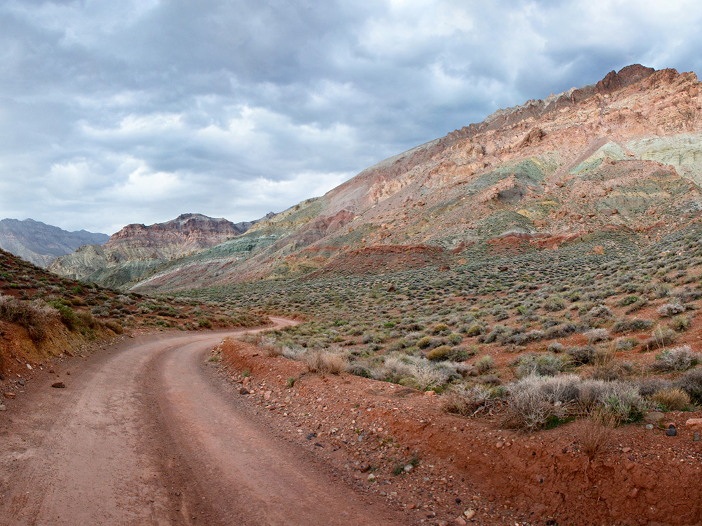
Three main roads explore this region: Big Pine-Death Valley Road, South Eureka Road, and Racetrack Valley Road. Of these, only Big Pine-Death Valley Road has paved sections, allows access to other parts of the park, and can serve as an entrance or exit route from the park, road conditions and vehicle permitting.
Big Pine-Death Valley Road
When Highway 190, the main paved road through the park, ends at Ubehebe Crater, Big Pine-Death Valley Road takes over the north-south traverse. The 48-mile road is mostly gravel with only four miles of pavement. High clearance is recommended due to washboard and drainage dips. It runs along the northeastern side of the park to the northern park boundary, providing access to theEureka Dunes Road along the way. It continues to wander west through the Inyo Mountains, connecting with the paved Highway 168 and which eventually intersects with U.S. 395 and the town of Big Pine on the western side of the park in 75 miles.
South Eureka Road
The high-clearance, dirt South Eureka Road is less than 10 miles long. It starts from Big Pine-Death Valley Road, and ends at the Eureka Dunes with deep sand and washboard near the dunes. An extremely rugged road for 4WD vehicles, Steel Pass Road, continues 29 miles all the way to Saline Valley Road on the west side. The harrowing climb through the narrow, sharp dry falls of Dedeckera Canyon makes it suitable only for expert 4WD drivers with the right vehicle, extra gas and water, tools, and a detailed map.
Racetrack Valley Road
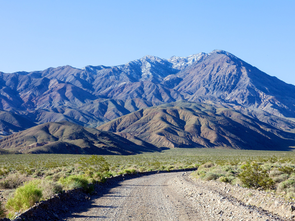
Racetrack Valley Road may be an adventure if you’re not used to driving on backcountry roads, or even if you are, depending on the time of year and the condition of the road. High clearance with off-road tires are recommended due to loose gravel and sharp rocks. This road is infamous for flat tires. From the end of paved Highway 190 at Ubehebe Crater, it drops 26 rocky miles down to the Racetrack Valley in the eastern Cottonwood Mountains. The most popular spot is the Racetrack itself, but Racetrack Valley Road also leads to several other hikes and sites in the area. It officially ends at the Homestake Dry Camp, the primitive campground at the southern end of the Racetrack. From here, an incredibly rough Jeep road takes over to eventually connect with Saline Valley Road.
Lippincott Mine Road has the dubious distinction of being the roughest road in Death Valley. Although it is just under 6 miles, it has a reputation for being steep and narrow with cliff-edge washouts. Like Steel Pass Road from the Eureka Dunes, this road is only for expert 4WD drivers with the right vehicle, extra gas and water, tools, and a detailed map.
Hunter Canyon Road connects to the Racetrack Valley at Teakettle Junction. It heads south through the Hidden Valley and Goldbelt Mining District (scant remains) for 24 miles, roughly paralleling Racetrack Valley Road, until it intersects with the southern end of the Saline Valley Road at the South Pass. It is a 4WD road with rough patches and steep grades, but it is much tamer than Lippincott Mine Road, the other 4WD track that provides a route to Racetrack Valley.
Panamint Springs and the Saline Valley
The western Panamints start on Bureau of Land Management land and stretch east into Death Valley National Park. The 4WD routes here are rugged with shifting conditions, and they require technical skill and equipment. Only one road goes through clear to the other side—the Goler Canyon road via Mengel Pass—but to call Mengel Pass a road is a stretch. It’s a cliff-hugger and a nail-biter. Do not attempt it unless you have experience and the right equipment. Other canyon drives in the area only flirt with the mountain passes before they head back down to the Panamint Valley. Roads in Jail Canyon and Pleasant Canyon, for example, nose their way toward Death Valley but end without going all the way through.
Saline Valley Road
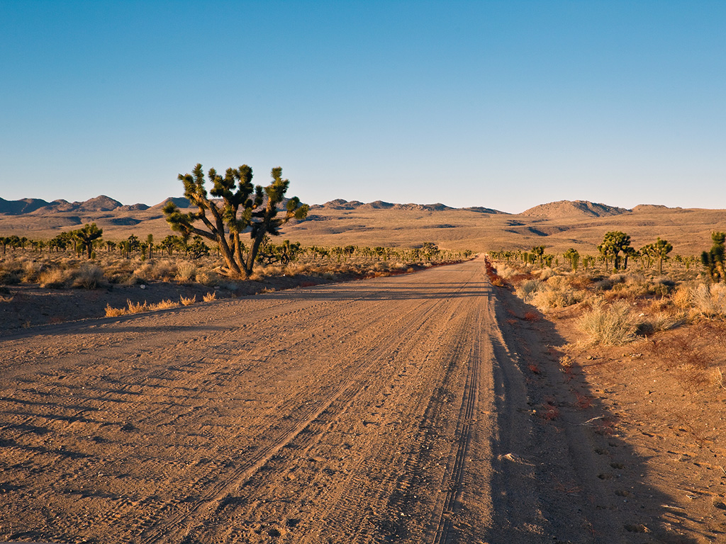
Saline Valley Road’s condition has improved over the years, but it remains long, nearly 80 miles pavement to pavement from Highway 190 in the south to Big Pine Road in the north. Despite its remoteness, many people drive this road in all forms of vehicle—from apocalyptic 4WD desert beasts with military tires to adorable little VW buses with matching curtains. When the road is dry in optimal conditions, it is passable by any manner of vehicle, but the going is not smooth. Rocks, washboard, sand in places, and the sheer length of the road make it an endurance test; getting a flat or two is a distinct possibility. On the bright side, alpine forests, abundant Joshua trees, stellar views, remote sand dunes, bird’s-eye views of the Saline Valley, and access to powerfully beautiful canyons make it worth the haul.
Summer brings intense heat and keeps most visitors away. Winter can bring snow, ice, and road closures; carry chains. Be prepared with gas, food, and water.
For more information on visiting the park or scenic drive options that are best traversed with a 4WD vehicle, grab a copy of Moon Death Valley National Park.
Recommended Travel Guides
Pin it for Later
