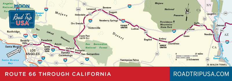
Victorville
Take the “old road” between Barstow and Victorville to be sure to enter Victorville on old Route 66 and see Victorville at its best. At the California Route 66 Museum (16825 S. D St., 760/951-0436, Mon. and Thurs.-Sat. 10am-4pm, Sun. 11am-3pm, free), right on old Route 66, in Old Town across from the train station, a small but growing collection of road signs, photographs, and reminiscences help preserve the life and times of this great old highway. The museum also holds most of the surviving pieces of Hula Ville, an outdoor sculpture park and oddball art gallery that once stood west of Victorville. Most of its paintings and hand-lettered memorials to sundry bums, hobos, and other travelers were moved here after Hula Ville’s 100-year-old creator and caretaker, former carnival worker “Fry Pan” Miles Mahan, died in 1996.
Without its Route 66 connections, Victorville would be just another distant SoCal commuter suburb. In fact, ever since the departure of Hula Ville, not to mention the wonderful Roy Rogers and Dale Evans Museum, which—along with its much-loved celebrity subjects—had a home here, Victorville just hasn’t seemed the same. Fortunately, old Route 66 can still be traced through town: From the Route 66 Museum, turn south onto 7th Street, which runs past a few neon-signed old motels like the New Corral (14643 7th St., 760/245-9378, $64 and up) with its animated bucking bronco.
There’s also a worthwhile stop two miles east of downtown: Join the truckers and bikers at family-run Emma Jean’s Holland Burger Café (17143 N. D St., 760/243-9938), featured on Diners, Drive-ins and Dives TV show.
South and west of Victorville, heading toward Los Angeles and the seemingly distant Pacific Ocean, a number of very picturesque but generally dead-end stretches of old Route 66 go over Cajon Pass, but the main road is definitely I-15.
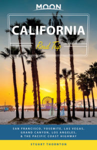
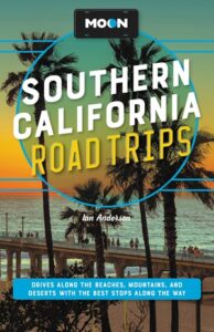
Related Travel Guides

California Travel Map