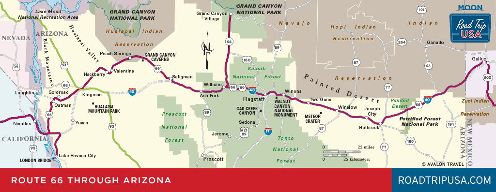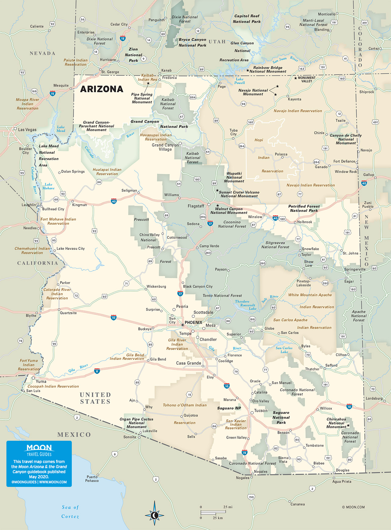
Kingman
The only town for miles in any direction since its founding as a railroad center in 1882, Kingman (pop. 30,314) has always depended on passing travelers for its livelihood. Long a main stopping place on Route 66, and still providing the only all-night services on US-93 between Las Vegas and Phoenix, and along I-40 between Flagstaff and Needles, the town remains more a way station than a destination despite the increasing number of people who have relocated here in recent years, attracted by the open space, high desert air, and low cost of living. The stretch of Route 66 through Kingman has been renamed in memory of favorite son Andy Devine, who was born in Flagstaff in 1905 but grew up here, where his parents ran the Beale Hotel. One of the best-known character actors of Hollywood’s classic era, the raspy-voiced Devine usually played a devoted sidekick. His most famous role was as the wagon driver in the classic 1939 John Ford western Stagecoach.
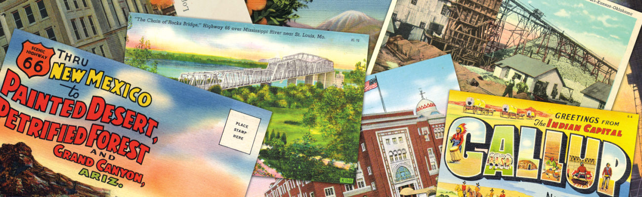
The best first stop in Kingman is The Powerhouse Visitor Center (120 W. Andy Devine Ave., 928/753-9889, $4), a hulking old power plant that’s been inventively repurposed to house a good Route 66 museum, with galleries full of enough old cars, postcards, and mementos to occupy you for an hour or more. Best of the bunch is a nifty relief map of the entire path of Route 66 (the many mountain ranges make you realize why old cars needed so many service stations!). The displays do a good job of evoking and exploring the deep romance many Americans seem to feel for the old Mother Road.
Be sure to contact the visitors center (928/753-6106) here to pick up a copy of the town’s good Route 66 brochure. Then pop across Route 66 for a burger, some fries, and a milkshake at Mr. D’z Route 66 Diner (105 E. Andy Devine Ave., 928/718- 0066), impossible to miss thanks to its bank of neon.
The blocks off Route 66 hold Kingman’s most interesting older buildings—Beale Street, north of Route 66, has dozens of 100 year-old railroad-era storefronts now housing an array of junk and antiques shops. Expect the usual chain motels along I-40.
To escape the summer heat, Kingmanites head east and south along a well-marked 13-mi (20.9-km) road to Hualapai Mountain Park, where pines and firs cover the slopes of the 8,417-t (2,566-m) peak. Hiking trails wind through the wilderness, where there’s a campground and a few rustic cabins ($70-150) built by the Civilian Conservation Corps during the New Deal 1930s. Contact the ranger station (928/757-0915) near the park entrance for detailed information or to make reservations.
Related Grand Canyon Travel Guides


Travel Maps of Arizona