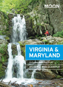
The Eastern Gateway
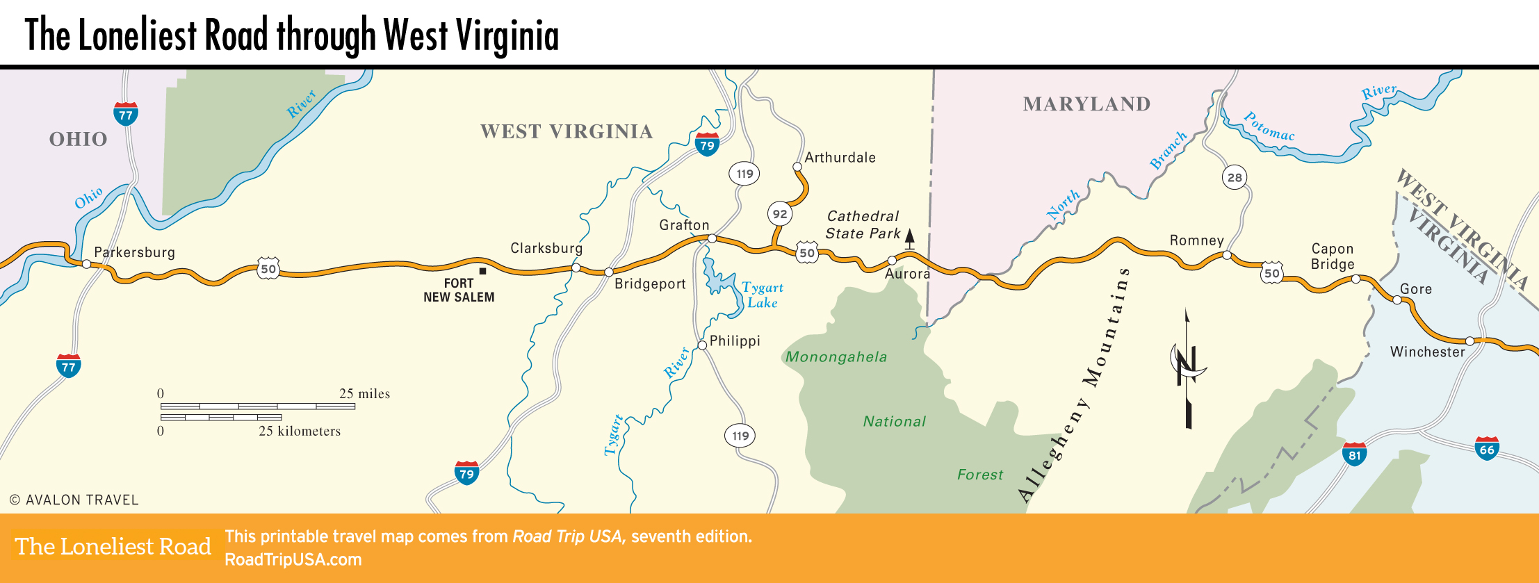
The oddly shaped arm of eastern West Virginia, which juts between Maryland and Virginia at the headwaters of the Potomac River, is promoted as the “Eastern Gateway” and offers quick access to the mountainous wilderness of Monongahela National Forest that stretches south of US-50, and to the raging white water of the Cheat and Gauley Rivers. Originally inhabited by the Shawnee people, the region was settled during colonial times as part of the six-mil-ac (2.4-mil-ha) Virginia estate of Lord Fairfax.
The B&O Railroad came through in the 1850s, which made the region strategically important during the Civil War, nowhere more so than around Romney (pop. 1,717), the Eastern Gateway’s largest town, which changed hands more than 50 times in four years of fighting. In the center of Romney, at the corner of Main Street and Bolton, the Davis History House (304/822-3185, hours vary) is a well-restored log cabin packed full of pioneer and Civil War artifacts. Romney also has the oldest Confederate War Memorial, erected on the west side of town in Indian Mound Cemetery semi-secretly in 1866, since West Virginia was officially a “northern” state.
Heading east toward Winchester, US-50 passes through mountain hamlets like Capon Bridge (on the West Virginia side) and Gore (on the Virginia side), which consist of little more than a tavern and a post office, plus one or two antiques stores selling everything from colonial-era furniture to old highway signs. It’s hard to help feeling light years from the modern world, even though Washington DC is only 90 mi (145 km) away.
Related Travel Guides