Devils Lake and Fort Totten
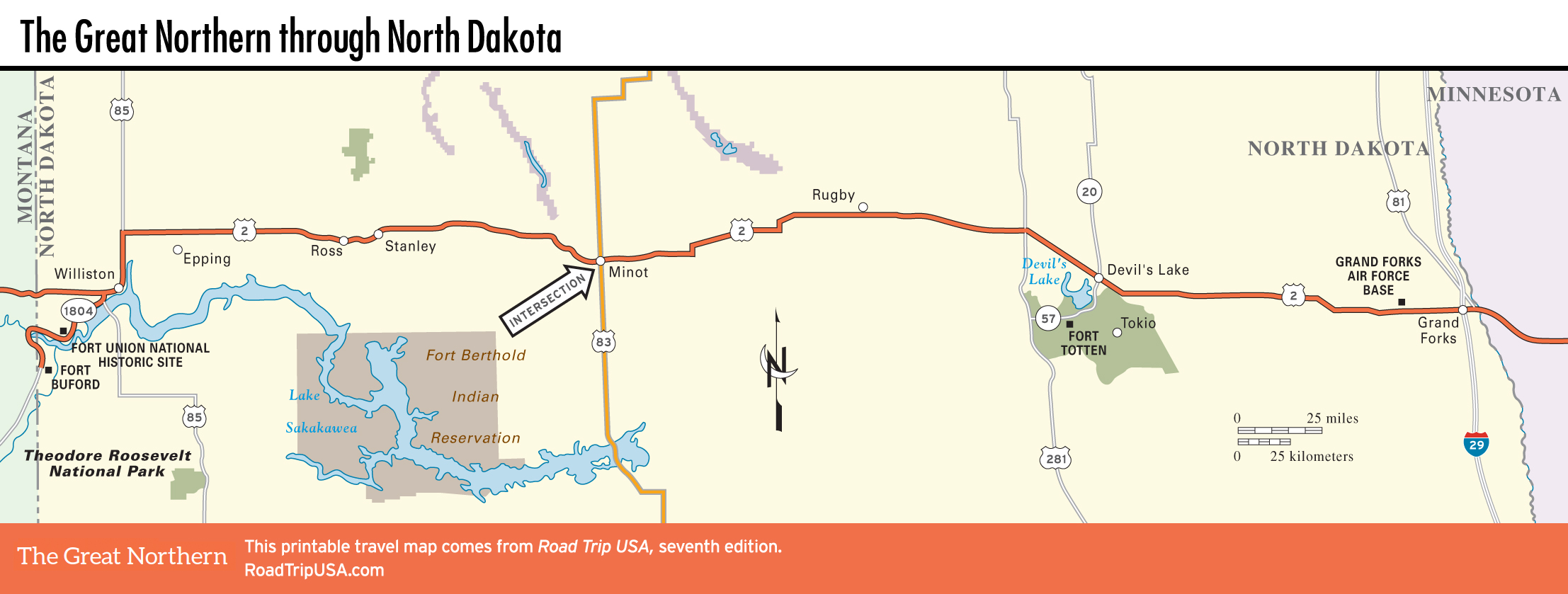
The wetlands south of the eponymous town of Devils Lake (pop. 7,141), which is 60 mi (97 km) east of Rugby and 90 mi (145 km) west of Grand Forks, are one of the biggest natural draws in the state, with bird-watching, hunting, and fishing opportunities aplenty. However, this largest body of water in North Dakota has no natural outlet, and true to its name, for the past 20 years Devils Lake has been wreaking havoc. Lake levels have risen by more than 30 ft (9 m), flooding farmland, threatening homes, and forcing the raising and rebuilding of US-2 into a sort of causeway. Despite the threat, the town still takes good care of its blocks of tidy brick buildings, one of which houses the artsy Liquid Bean Café (316 NE 4th Ave., 701/662-1065, Mon.-Sat.) and the popular Old Main Street Café (416 NE 4th St., 701/662-8814), around the corner.
Historic Fort Totten (daily, $6), 14 mi (22.5 km) south of town on Hwy-57, is one of the country’s best-preserved 19th-century military forts, with numerous restored buildings set around a spacious central square, as well as a museum and a theater (productions Wed.-Thurs. and Sat.-Sun. in July). A rodeo and powwow, featuring highly competitive Native American dances, are held during Fort Totten Days (last weekend in July). Next to the fort is Sullys Hill National Game Preserve, a more-than-1,600-acre refuge for bison, elk, deer, and other wildlife, which you may spot while hiking the nature trail.
Both the fort and the nature preserve are located on the 245,000-acre reservation Spirit Lake Nation, centering on the mission village of St. Michael’s, 8 mi (12.8 km) east of the fort. The main attraction is the Spirit Lake Casino and Resort, formerly known as Dakotah Sioux Casino, “North Dakota’s First and Finest,” 8 mi (12.8 km) southeast of downtown Devils Lake.
Related Travel Guides