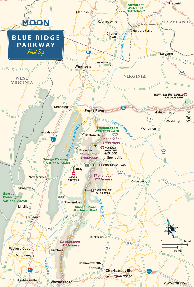
Virginia’s Skyline Drive
Most people experience Shenandoah National Park by driving the spectacular Skyline Drive. The drive, which was plotted and surveyed in 1931 and opened in 1939, runs (at 35 mph!) along the crest over 100 miles, winding between the I-66 and I-64 freeways while giving grand vistas at every bend in the road. Mileposts, arranged in mile-by-mile order from north to south, mark your progress along Skyline Drive.
The scenic driving is definitely memorable, but by far the best way to really see the park is to get out of the car and walk along the many miles of trails (including more than 100 miles of the Appalachian Trail) that lead through the dense green forests to innumerable waterfalls and overlooks.
A helpful map and brochure is handed out at National Park entrance booths along the route (one at either end and two midway). Here are some more great places to look out for:
Skyline Drive Highlights
-
Milepost 21.1:
A roadside parking area marks the trailhead for a lovely, 3.2-mile hike to Overall Run Falls, the tallest in the park. You can also reach the falls from Matthews Arm campground, just down the road.
-
Milepost 31.5:
Thornton Gap is the junction with US-211.
-
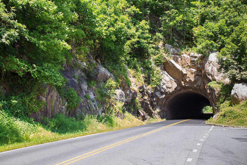
Milepost 32.4:
Mary’s Rock Tunnel is a 670-foot-long, 13-foot-wide bore cut through the granite in 1932. RV drivers beware—it is just 12 feet, 8 inches high.
-
Milepost 50.7:
Near Big Meadows, under a mile from the well-marked trailhead, Dark Hollow Falls tumbles over a 70-foot incline. Outside the Byrd Visitor Center, a macho statue of “Iron Mike” commemorates the efforts of the workers who built the trails, overlooks, and campgrounds as part of the New Deal Civilian Conservation Corps.
-
Milepost 52.8:
Milam Gap marks the start of a two-mile walk to Rapidan Camp, where President Hoover established a trout-fishing retreat in 1929.
-
Milepost 56.4:
A short, steep hike scrambles up to the 3,300-foot-high summit of Bearfence Mountain for a 360-degree panorama.
-
Milepost 84.1:
A parking area marks the trailhead for the rewarding 3.6-mile hike to Jones Run Falls, tumbling over a mossy 45-foot cliff.
-
Milepost 98.9:
Near the southern end of Skyline Drive, Calf Mountain provides a grand panorama over the Shenandoah Valley.
If you’re not ready to get off the road, the Blue Ridge Parkway begins at the southern end of Shenandoah National Park. One of the country’s great scenic drives, the Blue Ridge Parkway continues all the way to Great Smoky Mountains National Park, and we’ve got a blog post covering its mile-by-mile highlights here.
Recommended Travel Guides